


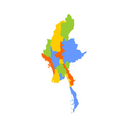


Related Searches
- Administrative
- Map
- Division
- Myanmar
- Political
- Region
- State
- 3d
- Area
- Border
- Boundary
- Cartography
- Country
- Department
- Detailed
- District
- Federal
- Geographical
- Geography
- Illustration
- Infographic
- Land
- Nation
- National
- Naypyitaw
- Object
- Orange
- Province
- Regional
- Union
- Unit
- Unitary
- Vector
- Asia
- Autonomous
- Autonomy
- Burma
- Burmese
- Divided
- Entity
- Government
- Local
- Perspective
- Sovereign
- Subdivision
- Yellow
- Nay
- Taw