


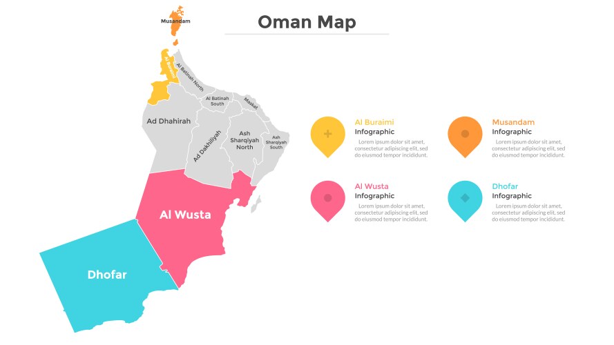

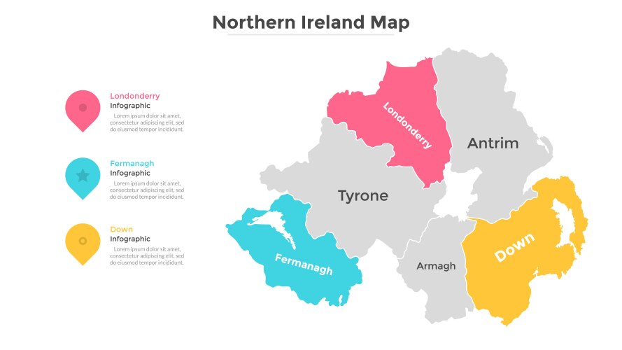

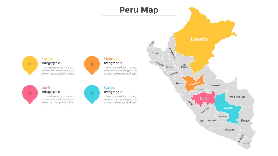


Related Searches
- Administrative
- Map
- Division
- Political
- Region
- Vector
- Area
- Atlas
- Border
- Boundary
- Cartography
- Colorful
- Country
- Department
- Design
- District
- Geographical
- Geography
- Illustration
- Infographic
- Label
- Land
- Nation
- National
- Province
- Rainbow
- Regional
- Spectrum
- State
- Unit
- Unitary
- Africa
- Autonomous
- Autonomy
- Color
- Colored
- Colourful
- Divided
- Entity
- Federal
- Government
- Local
- Name
- Namibia
- Namibian
- Sovereign
- Subdivision
- Windhoek